
Project: Shura Marina (Red Sea Global)
Discipline: Architecture / Structure
Challenge
Architectural and structural Revit elements (columns, beams, slabs, grids) must be represented as GIS primitives while retaining spatial relationships and area-based attributes for facility management.
Solution
- Points: Columns, fixtures, access points, and structural markers extracted as discrete points.
- Lines: Beams, gridlines, structural axes, and edges converted to linear features.
- Polygons: Floor plates, footprints, and slabs – each carrying area, perimeter, and adjacency data.
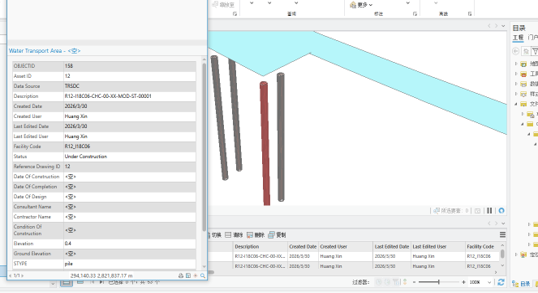
- Special case – Pile columns: Exported as individual polygon cut faces (not multipatch) to support rendering, area calculation, and asset tagging.
Outcome
- GIS-ready AR/ST feature classes in dedicated datasets.
- Polygon geometry enables spatial queries (overlap, containment, intersection).
- Structural piles are fully asset-taggable and spatially analyzable without 3D complexity.