
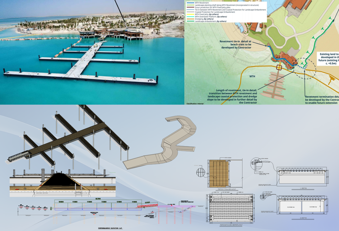
Get your planning and modeling done faster, cheaper, and smarter.
Harness the power of GIS for smarter spatial decisions.
With Geographic Information Systems (GIS), you can integrate diverse geospatial data, perform advanced spatial analytics, and enable data-driven decision-making across your entire project lifecycle—all on a unified spatial data platform. As governments across the Middle East—including Saudi Arabia under Vision 2030 and the UAE—accelerate their smart city and digital twin initiatives, GIS has become the foundational layer for urban planning, infrastructure delivery, and asset operations.
Preparation

Architecture / Structure

MEP

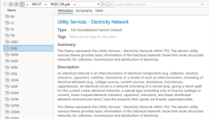
Trace Network Configuration & Flow Analysis (USEL)
Project: Shura Marina (Red Sea Global)Discipline: Electrical Network (USEL) ChallengeOnce the MEP network is validated, it must support downstream flow analysis – e.g., upstream/downstream tracing, isolation planning, and dead-end detection – to enable real-world operational decision-making. Solution Outcome
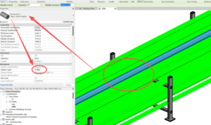
MEP Utility Network Conversion & Topology Validation
Project: Shura Marina (Red Sea Global)Discipline: MEP (Mechanical, Electrical, Plumbing) ChallengeMEP systems (cables, conduits, pipes, fittings) are critical for operations but are often modeled as disconnected geometry in BIM. Without topological integrity, network tracing and outage analysis are impossible. Solution Outcome
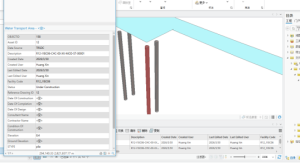
Architectural & Structural Geometry Translation (AR/ST)
Project: Shura Marina (Red Sea Global)Discipline: Architecture / Structure ChallengeArchitectural and structural Revit elements (columns, beams, slabs, grids) must be represented as GIS primitives while retaining spatial relationships and area-based attributes for facility management. Solution Outcome
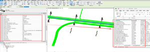
BIM-to-GIS Schema Mapping & Geodatabase Design
Project: Shura Marina (Red Sea Global)Discipline: Preparation / Data Governance ChallengeBIM models (Revit) contain rich semantic data but are not natively compatible with enterprise GIS. Without a structured schema, geometry and attributes become fragmented, leading to data loss and inconsistent classification across disciplines. SolutionA canonical Esri Geodatabase (GDB) was designed per RSG standards, featuring: Outcome